Laura Place, Bath
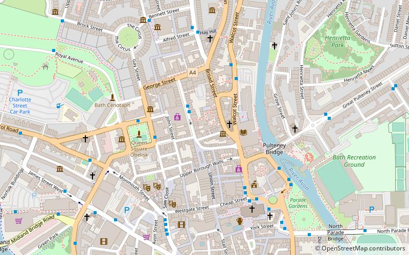
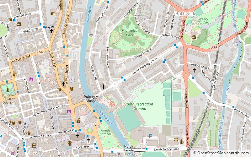
Map
Gallery
Facts and practical information
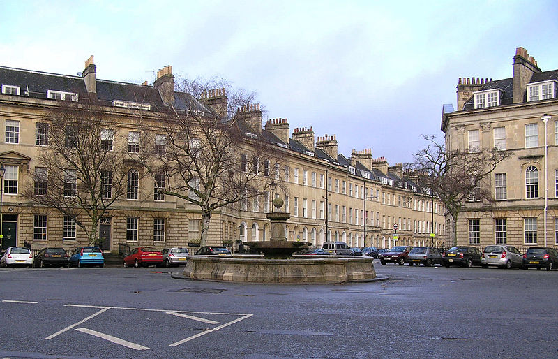
Laura Place Bathwick, Bath, Somerset, England, consists of four blocks of houses around an irregular quadrangle at the end of Pulteney Bridge. It was built by Thomas Baldwin and John Eveleigh between 1788 and 1794. ()
Built: 1788 (238 years ago)Coordinates: 51°23'2"N, 2°21'20"W
Address
Bath
ContactAdd
Social media
Add
Day trips
Laura Place – popular in the area (distance from the attraction)
Nearby attractions include: Roman Baths, Bath Abbey, Victoria Art Gallery, Pulteney Bridge.
Frequently Asked Questions (FAQ)
Which popular attractions are close to Laura Place?
Nearby attractions include Johnstone Street, Bath (3 min walk), Henrietta Street, Bath (3 min walk), Argyle Street, Bath (3 min walk), Recreation Ground, Bath (4 min walk).
How to get to Laura Place by public transport?
The nearest stations to Laura Place:
Bus
Train
Bus
- Laura Place • Lines: 18, 418 (1 min walk)
- Edward St • Lines: 18, 418 (4 min walk)
Train
- Bath Spa (12 min walk)
- Oldfield Park (29 min walk)


