Southend & District Reform Synagogue, Southend

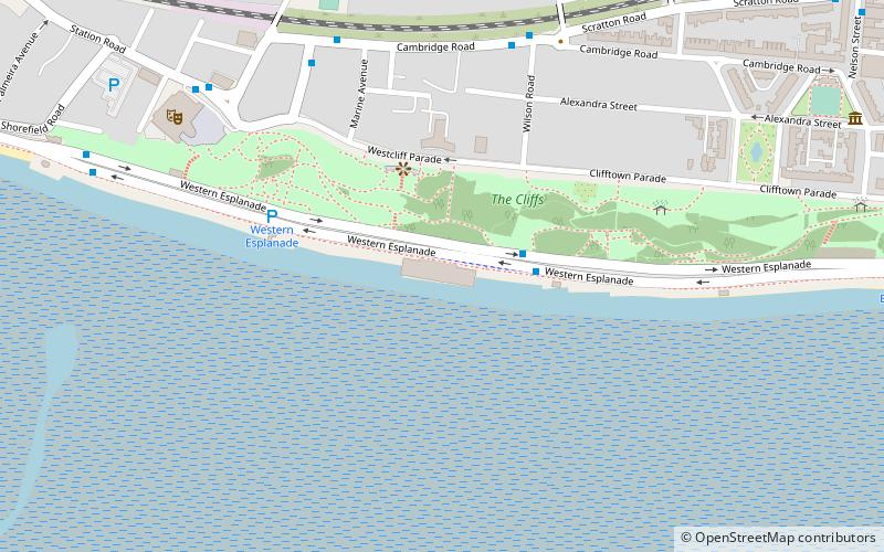
Map
Facts and practical information
Southend and District Reform Synagogue is a Reform Jewish synagogue in Southend-on-Sea, England. ()
Coordinates: 51°32'46"N, 0°40'28"E
Getting there by public transportation
Public transportation stops near this location
- Bus
- Train
 Bus
Bus
- Calculate routeChalkwell Schools 2 min walk
- Calculate routeDarlinghurst Grove 7 min walk
- Calculate routeKings Road 7 min walk
- Calculate routeChalkwell 14 min walk
- Calculate routeWestcliff 24 min walk
Day trips


Frequently Asked Questions (FAQ)
Which popular attractions are close to Southend & District Reform Synagogue?
Nearby attractions include Chalkwell Park, Southend (4 min walk), Westcliff-on-Sea, Southend (14 min walk), Palace Theatre, Southend (20 min walk), Leigh-on-Sea, Southend (24 min walk).
How to get to Southend & District Reform Synagogue by public transport?
The nearest stations to Southend & District Reform Synagogue:
Bus
Train
Bus
- Chalkwell Schools • Lines: 1, 26, 27, 27A, 28, 3 (2 min walk)
- Darlinghurst Grove • Lines: 1, 27, 27A, 28, 3 (7 min walk)
Train
- Chalkwell (14 min walk)
- Westcliff (24 min walk)