Lenton, Nottingham
Map
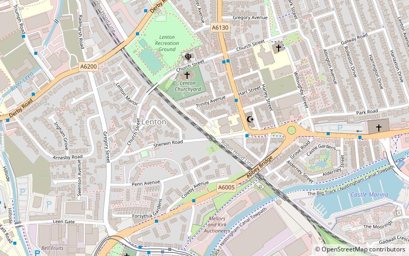
Map

Facts and practical information
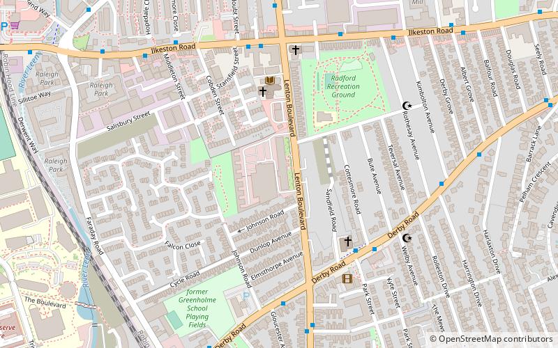
Lenton is an area of the City of Nottingham, in the county of Nottinghamshire, England. Most of Lenton is situated in the electoral ward of 'Dunkirk and Lenton', with a small part in 'Wollaton East and Lenton Park'. ()
Coordinates: 52°56'49"N, 1°10'32"W
Address
Dunkirk and LentonNottingham
ContactAdd
Social media
Add
Day trips
Lenton – popular in the area (distance from the attraction)
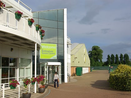
Nearby attractions include: Ye Olde Trip to Jerusalem, Nottingham Castle, Nottingham Tennis Centre, Savoy Cinema.
Frequently Asked Questions (FAQ)
Which popular attractions are close to Lenton?
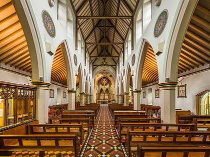
Nearby attractions include Holy Trinity Church, Nottingham (3 min walk), Albert Ball Memorial Homes, Nottingham (4 min walk), Sri Guru Tegh Bahadur Gurdwara, Nottingham (4 min walk), Priory Church of St Anthony, Nottingham (7 min walk).
How to get to Lenton by public transport?
The nearest stations to Lenton:
Bus
Tram
Bus
- Trinity Avenue • Lines: L5 (2 min walk)
- Church Street • Lines: L5 (4 min walk)
Tram
- Gregory Street • Lines: 1 (6 min walk)
- Queens Medical Centre • Lines: 1 (12 min walk)


