Lime Street, Liverpool
Map
Gallery
Facts and practical information
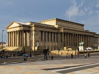
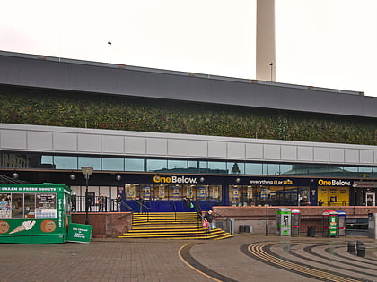
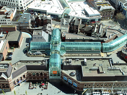
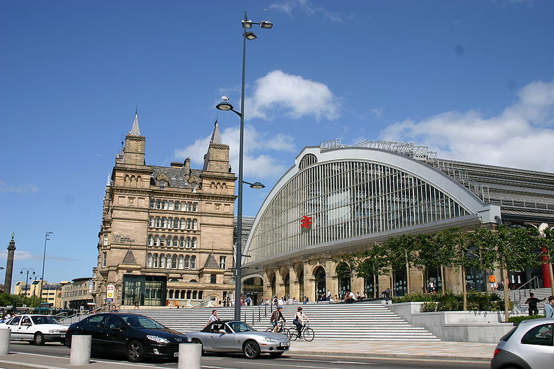
Lime Street in Liverpool, England, was created as a street in 1790. Its most famous feature is Lime Street railway station. It is part of the William Brown Street conservation area. ()
Coordinates: 53°24'29"N, 2°58'44"W
Address
Lime Street Station Lime StreetCentral LiverpoolLiverpool L1 1JD
Contact
+44 345 711 4141
Social media
Add
Day trips
Lime Street – popular in the area (distance from the attraction)
Nearby attractions include: Church Street, World Museum, St George's Hall, Walker Art Gallery.
Frequently Asked Questions (FAQ)
Which popular attractions are close to Lime Street?
Nearby attractions include Liverpool Cenotaph, Liverpool (2 min walk), Liverpool Empire Theatre, Liverpool (2 min walk), St George's Hall, Liverpool (2 min walk), Royal Court Theatre, Liverpool (3 min walk).
How to get to Lime Street by public transport?
The nearest stations to Lime Street:
Bus
Train
Bus
- Lime St Rail Station • Lines: 18 (1 min walk)
- Queen Square Bus Station • Lines: 18, 79C (4 min walk)
Train
- Liverpool Lime Street (2 min walk)
- Liverpool Central (7 min walk)


