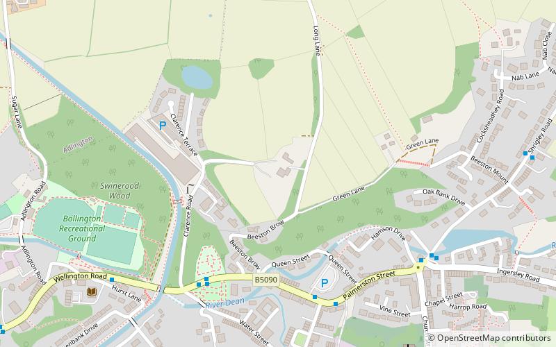
Limefield, Bollington
Map
Facts and practical information
Limefield is a house standing to the north of Bollington, Cheshire, England. It was built in about 1830 for Joseph Brook. It is constructed in ashlar brown sandstone, and has a pyramidal roof of Welsh slate with a large stone central chimney. Its plan is square, with an extension to the rear. The house has two storeys, with a symmetrical three-bay front. It is recorded in the National Heritage List for England as a designated Grade II listed building. Its stables and coach house are also listed at Grade II. ()
Coordinates: 53°18'1"N, 2°5'50"W
Address
Bollington
ContactAdd
Social media
Add
Day trips
Limefield – popular in the area (distance from the attraction)
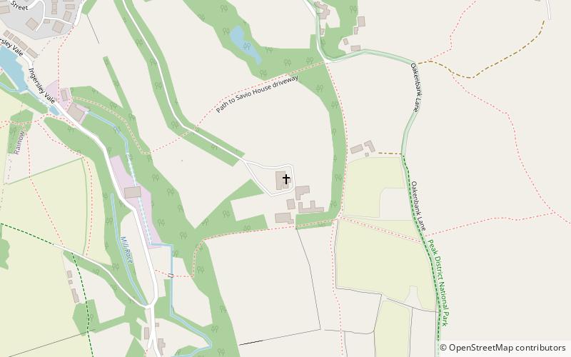
Nearby attractions include: White Nancy, St John the Baptist's Church, Bollington Methodist Church, St Christopher's Church.


Frequently Asked Questions (FAQ)
Which popular attractions are close to Limefield?
Nearby attractions include St John the Baptist's Church, Bollington (8 min walk), Bollington Methodist Church, Bollington (10 min walk), White Nancy, Bollington (17 min walk), Ingersley Hall, Bollington (20 min walk).