Soar Valley
Map

Map

Facts and practical information
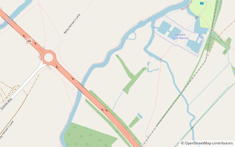
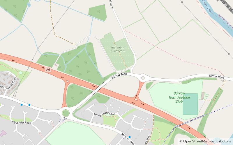
The Soar Valley in Leicester- and Nottinghamshire, England is the basin of the River Soar, which rises south of Leicester and flows north through Charnwood before meeting the River Trent at Trent Lock. ()
Coordinates: 52°44'24"N, 1°8'24"W
Location
England
ContactAdd
Social media
Add
Day trips
Soar Valley – popular in the area (distance from the attraction)
Nearby attractions include: Stonehurst Family Farm and Motor Museum, Barrow upon sea, Flesh Hovel Lane, Sileby.


