Long Island
Map

Map

Facts and practical information
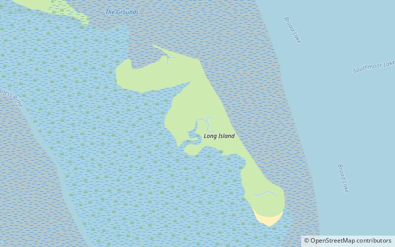
Long Island is an island in Langstone Harbour in Hampshire, England. It is 750 metres long and up to 250 metres wide. Three Bronze Age pots have been found on the island as has Mesolithic and late neolithic flint-work. Bronze Age pottery along with smaller amounts of Romano-British pottery have been found on the island. ()
Coordinates: 50°49'56"N, 1°0'20"W
Location
England
ContactAdd
Social media
Add
Day trips
Long Island – popular in the area (distance from the attraction)
Nearby attractions include: Southmoor Nature Reserve, West Hayling, Langstone Bridge, Langstone Windmill.


