Lyle Hill, Greenock
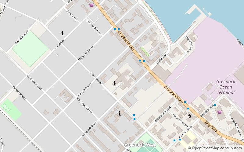
Map

Gallery

Facts and practical information
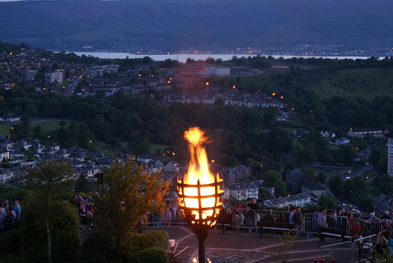
Lyle Hill at the West End of Greenock, Inverclyde, Scotland, has scenic viewpoints accessible from Lyle Road which was constructed in 1879–1880 and named after Provost Abram Lyle, well known as a sugar refiner. The hill's highest point is Craigs Top at 426 feet above sea level, and before the road was constructed the hill was known as the Craigs, or as the Bingens. ()
Coordinates: 55°57'13"N, 4°47'35"W
Day trips
Lyle Hill – popular in the area (distance from the attraction)
Nearby attractions include: Gourock Outdoor Pool, Old West Kirk, Ravenscraig Stadium, McLean Museum.
Frequently Asked Questions (FAQ)
How to get to Lyle Hill by public transport?
The nearest stations to Lyle Hill:
Train
Bus
Train
- Fort Matilda (10 min walk)
- Branchton (25 min walk)
Bus
- Greenock Bus Station (31 min walk)


