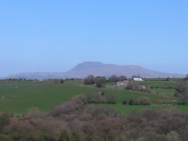
Simon Fell, Yorkshire Dales National Park

Gallery (1)
Map
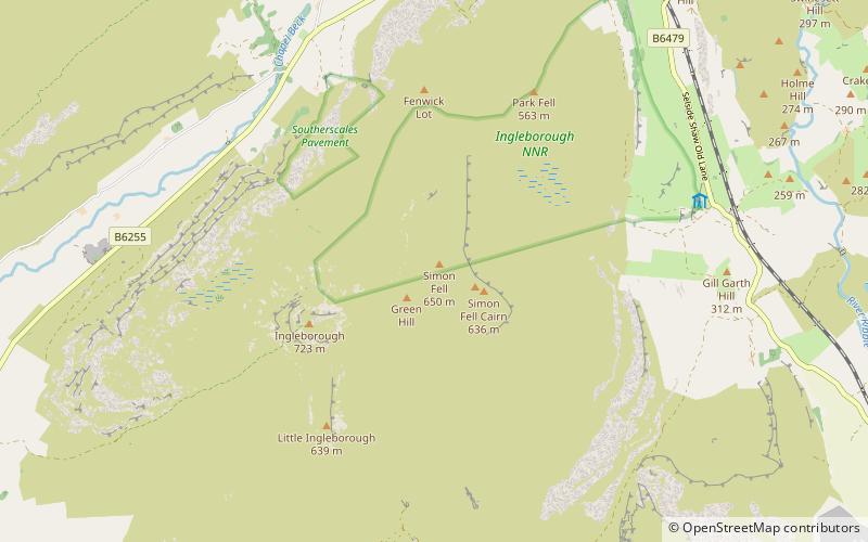
Map
Facts and practical information
Simon Fell is a subsidiary summit on the north east ridge of Ingleborough, a mountain in the Yorkshire Dales in Northern England. ()
Coordinates: 54°10'16"N, 2°22'41"W
Address
Yorkshire Dales National Park
ContactAdd
Social media
Add
Day trips