Mynydd Fforest
Map
Facts and practical information
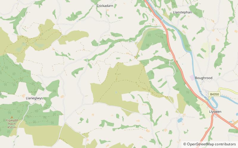
Mynydd Fforest is a hill about two miles northwest of Llyswen in the county of Powys in Wales. It rises to 400 m from the lower slopes of the Epynt. ()
Coordinates: 52°2'48"N, 3°19'16"W
Location
Wales
ContactAdd
Social media
Add
Day trips