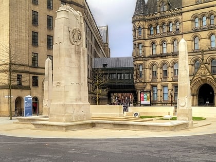
Manchester city centre, Manchester
Map
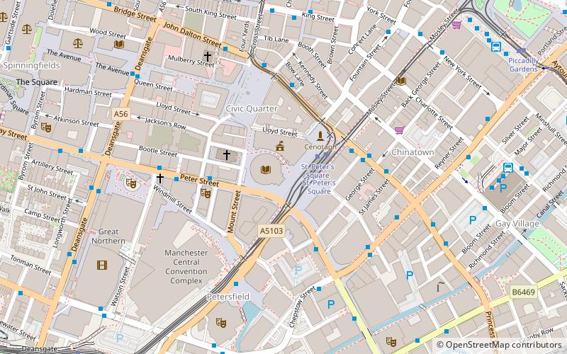
Map

Facts and practical information
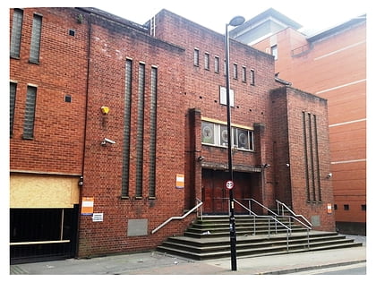
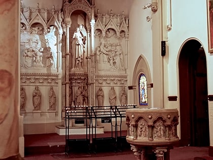
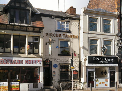
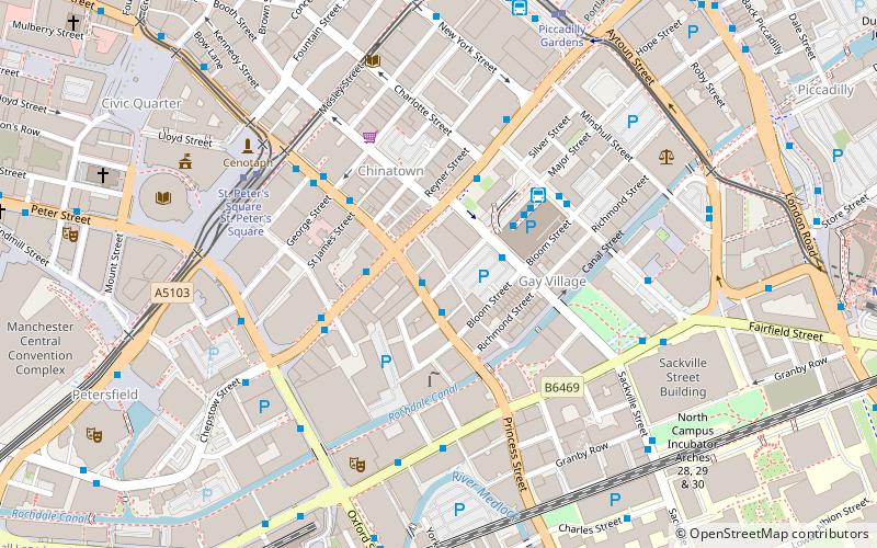
Manchester City Centre is the central business district of Manchester in North West England, within the boundaries of Trinity Way, Great Ancoats Street and Whitworth Street. The City Centre ward had a population of 17,861 at the 2011 census. ()
Address
City CentreManchester
ContactAdd
Social media
Add
Day trips
Manchester city centre – popular in the area (distance from the attraction)
Nearby attractions include: Manchester Art Gallery, Albert Square, Manchester Town Hall, Manchester Cenotaph.
Frequently Asked Questions (FAQ)
Which popular attractions are close to Manchester city centre?
Nearby attractions include Manchester Central Library, Manchester (1 min walk), St Peter's Square, Manchester (1 min walk), Manchester Town Hall Extension, Manchester (2 min walk), Manchester Cenotaph, Manchester (2 min walk).
How to get to Manchester city centre by public transport?
The nearest stations to Manchester city centre:
Tram
Bus
Train
Tram
- St. Peter's Square • Lines: Airp, Altr, Asht, Bury, Eccl, EDid, Mcuk, Picc, Roch, Shaw, Vict (2 min walk)
- Piccadilly Gardens • Lines: Altr, Asht, Bury, Eccl, Mcuk, Picc (9 min walk)
Bus
- Manchester City Centre, Oxford Street / St Peter's Square • Lines: 191, 197 (3 min walk)
- Princess Street/Arora Hotel • Lines: X43 (3 min walk)
Train
- Manchester Oxford Road (8 min walk)
- Deansgate (10 min walk)

 Metrolink
 Metrolink / Rail


