South Barrule
Map
Map

Facts and practical information
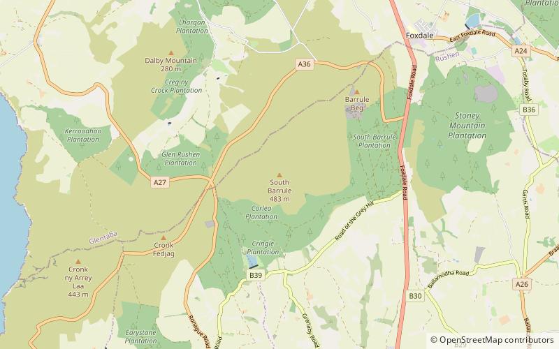
The South Barrule is the highest hill in the south of the Isle of Man. It has the remains of a fort on its summit, which is traditionally the home of the Manx god of the sea Mannanan beg mac y Leir. The hill is largely surrounded by conifer plantations. On the south western slope of the hill the Cringle Reservoir was formed to supply water to the southern part of the island. South Barrule's ancient name was Warfield or Wardfell. ()
Day trips
South Barrule – popular in the area (distance from the attraction)
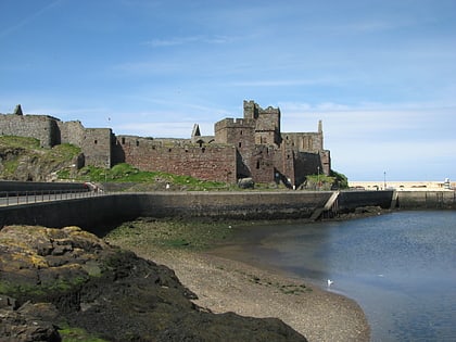
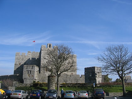
Nearby attractions include: Peel Castle, Castletown Golf & Country Club, Castle Rushen, Peel Cathedral.

