Fairlee, Newport
Map

Map

Facts and practical information
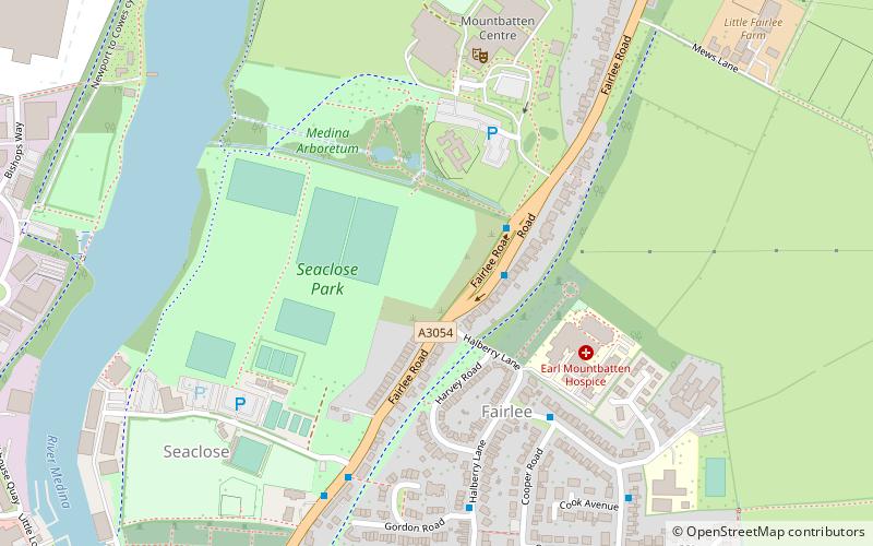
Fairlee is a suburb of Newport, on the Isle of Wight, on the east side of the River Medina. Fairlee Road runs through the area. During a week in June each year the main road northbound is completely closed to vehicles during the Isle of Wight Festival. Fairlee Service Station, Seaclose Stores and the Mountbatten Centre, with Medina High School are located in the area. ()
Coordinates: 50°42'30"N, 1°17'3"W
Address
Newport
ContactAdd
Social media
Add
Day trips
Fairlee – popular in the area (distance from the attraction)
Nearby attractions include: Seaclose Park, The Quay Arts, Newport Guildhall, Sts Thomas Minster.
Frequently Asked Questions (FAQ)
Which popular attractions are close to Fairlee?
Nearby attractions include Seaclose Park, Newport (3 min walk), St Paul's Church, Newport (11 min walk), Barton, Newport (12 min walk), Isle of Wight College, Newport (14 min walk).
How to get to Fairlee by public transport?
The nearest stations to Fairlee:
Bus
Bus
- Medina Leisure Centre • Lines: 5, 9 (2 min walk)
- Atkinson Drive • Lines: 39 (5 min walk)


