Marlow By-pass Bridge, Marlow
Map

Map

Facts and practical information
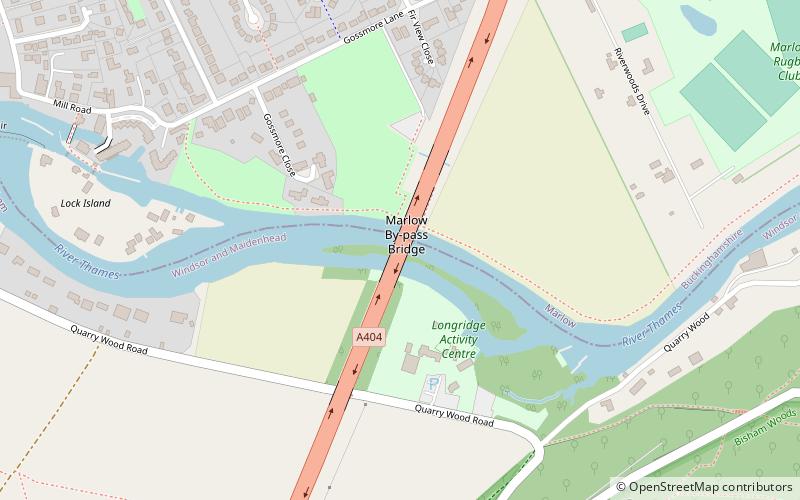
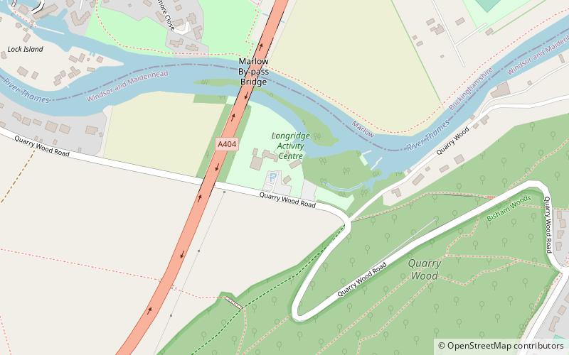
Marlow By-pass Bridge is a road bridge across the River Thames in England. It carries the A404 road between Maidenhead, Berkshire and High Wycombe, Buckinghamshire. and crosses the Thames on the reach between Cookham Lock and Marlow Lock. ()
Opened: 1972 (54 years ago)Length: 560 ftWidth: 75 ftHeight: 19 ftCoordinates: 51°33'58"N, 0°45'43"W
Address
Marlow
ContactAdd
Social media
Add
Day trips
Marlow By-pass Bridge – popular in the area (distance from the attraction)
Nearby attractions include: Marlow Bridge, Bisham Abbey, Bisham Woods, Marlow Lock.
Frequently Asked Questions (FAQ)
Which popular attractions are close to Marlow By-pass Bridge?
Nearby attractions include Marlow Lock, Marlow (8 min walk), Marlow Bridge, Marlow (13 min walk), Marlow Place, Marlow (15 min walk), Sir William Borlase's Grammar School, Marlow (23 min walk).


