Meanwood Valley Fitness, Leeds
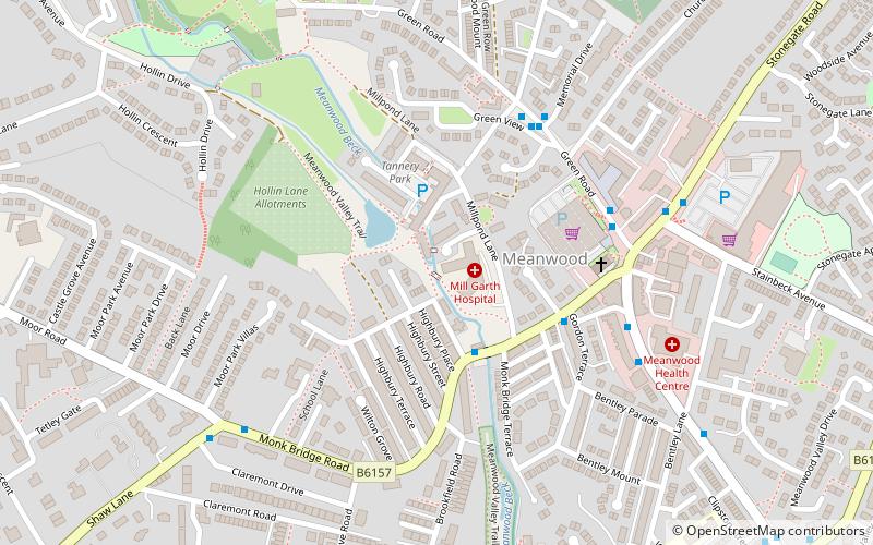
Map

Map

Facts and practical information
Meanwood is a suburb and former village in north-west Leeds, West Yorkshire, England. ()
Coordinates: 53°49'41"N, 1°34'13"W
Address
Providence House, Authorpe Road, MeanwoodWeetwood (Meanwood)Leeds
ContactAdd
Social media
Add
Day trips
Meanwood Valley Fitness – popular in the area (distance from the attraction)
Nearby attractions include: Headingley Carnegie Stadium, Meanwood Valley Trail, Woodhouse Moor, Hyde Park Picture House.
Frequently Asked Questions (FAQ)
Which popular attractions are close to Meanwood Valley Fitness?
Nearby attractions include Far Headingley, Leeds (14 min walk), Beckhill, Leeds (16 min walk), St Chad's Church, Leeds (17 min walk), St Michael and All Angels Church, Leeds (17 min walk).
How to get to Meanwood Valley Fitness by public transport?
The nearest stations to Meanwood Valley Fitness:
Bus
Train
Bus
- Otley Road St Chads Drive • Lines: 27, 6, 8, X84 (13 min walk)
- Otley Road St Annes Road • Lines: 27, 6, 8 (13 min walk)
Train
- Burley Park (29 min walk)
- Headingley (31 min walk)


