Milecastle 30, Hadrian's Wall
Map

Gallery

Facts and practical information
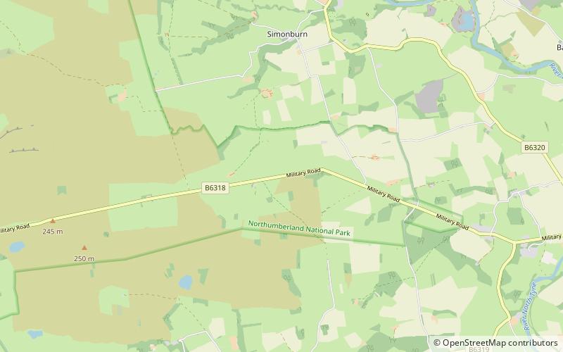
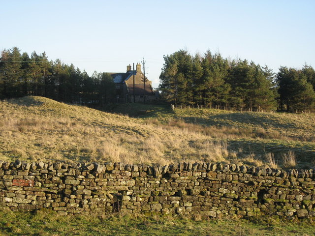
Milecastle 30 was a milecastle of the Roman Hadrian's Wall. Its remains exist as an outward-facing scarp with a maximum height of 0.8 metres. Masonry from the east wall remains in situ. The remaining stretch is 3.1 metres in length by 2.25 metres thick, and survives to a height of 0.6 metres. It is located at the western part of Limestone Corner, just off the B6318 Military Road. ()
Coordinates: 55°2'15"N, 2°12'16"W
Address
Hadrian's Wall
ContactAdd
Social media
Add
Day trips
Milecastle 30 – popular in the area (distance from the attraction)
Nearby attractions include: Limestone Corner, Milecastle 29, Carrawburgh, Milecastle 31.
Frequently Asked Questions (FAQ)
Which popular attractions are close to Milecastle 30?
Nearby attractions include Limestone Corner, Hadrian's Wall (12 min walk), Carrawburgh, Hadrian's Wall (19 min walk), Milecastle 29, Hadrian's Wall (23 min walk).


