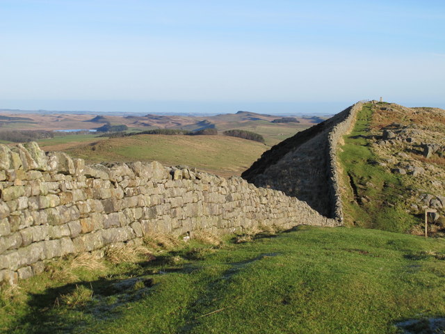
Milecastle 40, Hadrian's Wall
Map

Gallery

Facts and practical information
Milecastle 40 was a milecastle on Hadrian's Wall. ()
Coordinates: 55°0'8"N, 2°23'57"W
Address
Hadrian's Wall
ContactAdd
Social media
Add
Day trips
Milecastle 40 – popular in the area (distance from the attraction)
Nearby attractions include: Sycamore Gap Tree, Milecastle 39, Milecastle 41, Robin Hood Tree.
Frequently Asked Questions (FAQ)
How to get to Milecastle 40 by public transport?
The nearest stations to Milecastle 40:
Bus
Bus
- The Sill • Lines: Ad122 (16 min walk)


