Mills in Canterbury, Canterbury
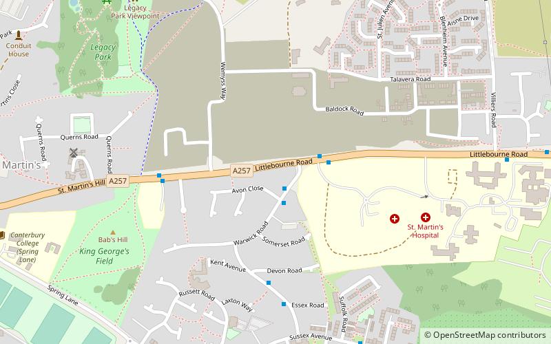
Map

Map

Facts and practical information
The city of Canterbury in Kent, England has been well served by mills over the centuries. These include animal engines, watermills and windmills. ()
Coordinates: 51°16'41"N, 1°6'11"E
Address
Canterbury
ContactAdd
Social media
Add
Day trips
Mills in Canterbury – popular in the area (distance from the attraction)
Nearby attractions include: Canterbury Cathedral, St Augustine's Abbey, St Martin's Church, Canterbury Roman Museum.
Frequently Asked Questions (FAQ)
Which popular attractions are close to Mills in Canterbury?
Nearby attractions include St Martin's Mill, Canterbury (7 min walk), St Martin's Church, Canterbury (11 min walk), HM Prison Canterbury, Canterbury (13 min walk), Canterbury College, Canterbury (15 min walk).
How to get to Mills in Canterbury by public transport?
The nearest stations to Mills in Canterbury:
Bus
Train
Bus
- Whitefriars • Lines: El450, P2 (24 min walk)
- Canterbury Bus Station (24 min walk)
Train
- Canterbury East (31 min walk)


