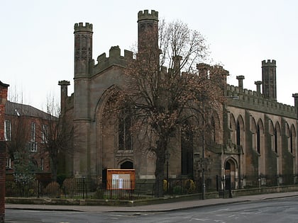
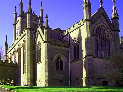
Darley Park, Derby
Map
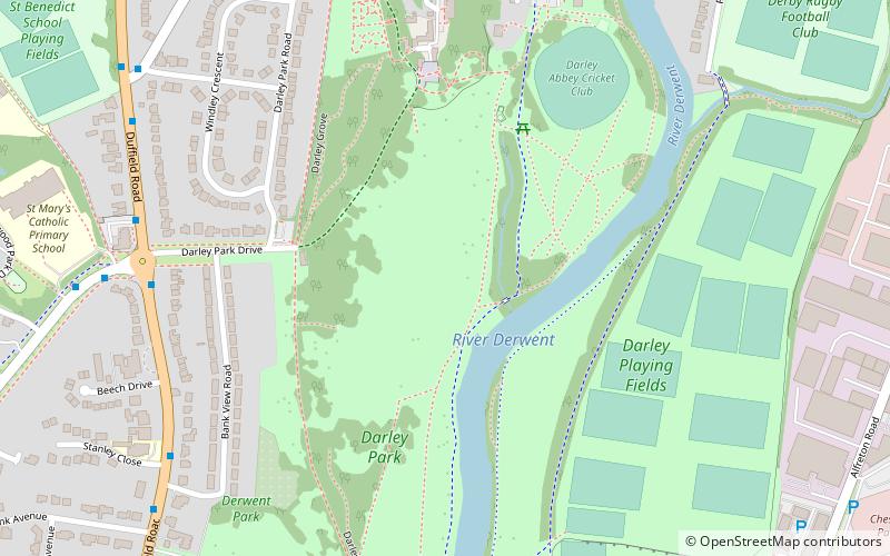
Map

Facts and practical information
Darley Park is an urban park on the banks of the River Derwent, just north of Derby City Centre, England, United Kingdom. It has a total area of 80 acres and forms the largest part of the Darley Open Spaces. The park is one of Derby's most popular outdoor spaces. ()
Elevation: 161 ft a.s.l.Coordinates: 52°56'18"N, 1°28'42"W
Day trips
Darley Park – popular in the area (distance from the attraction)
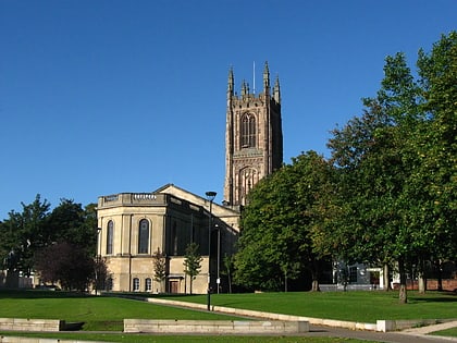
Nearby attractions include: County Cricket Ground, Derby Museum and Art Gallery, Derby Cathedral, St Mary's Bridge Chapel.
Frequently Asked Questions (FAQ)
Which popular attractions are close to Darley Park?
Nearby attractions include Darley Abbey, Derby (5 min walk), Handyside Bridge, Derby (13 min walk), St Mary's Church, Derby (20 min walk), St Mary's Bridge Chapel, Derby (20 min walk).
How to get to Darley Park by public transport?
The nearest stations to Darley Park:
Bus
Bus
- Broadway • Lines: 6.0, 6.1, 6.2, 6.3, 6.4, 6E (7 min walk)
- West Bank Avenue • Lines: 6.0, 6.1, 6.2, 6.3, 6.4, 6E (8 min walk)


