The Pleasance, Edinburgh
Map

Map

Facts and practical information
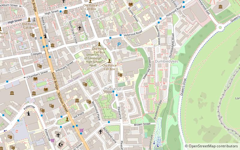
The Pleasance is a theatre, bar, sports and recreation complex in Edinburgh, Scotland, situated on a street of the same name. It is owned by the University of Edinburgh, and for nine months of the year it serves the Edinburgh University Students' Association as a societies centre, sports complex, student union bar and entertainment venue. ()
Coordinates: 55°56'52"N, 3°10'54"W
Day trips
The Pleasance – popular in the area (distance from the attraction)
Nearby attractions include: John Knox House, Surgeons' Hall Museums, Edinburgh Central Mosque, St Cecilia's Hall.
Frequently Asked Questions (FAQ)
Which popular attractions are close to The Pleasance?
Nearby attractions include The Pleasance Street, Edinburgh (1 min walk), Dovecot, Edinburgh (4 min walk), Dumbiedykes, Edinburgh (4 min walk), Surgeons' Hall Museums, Edinburgh (4 min walk).
How to get to The Pleasance by public transport?
The nearest stations to The Pleasance:
Bus
Train
Tram
Bus
- Nicolson Square • Lines: 47 (6 min walk)
- Surgeons' Hall • Lines: 29, 3, 31, 37, 47, 49, 51 (6 min walk)
Train
- Edinburgh Waverley (12 min walk)
Tram
- St Andrew Square • Lines: Edinburgh Trams Eastbound, Edinburgh Trams Westbound (16 min walk)
- Princes Street • Lines: Edinburgh Trams Eastbound, Edinburgh Trams Westbound (18 min walk)


