Gritstone Trail
Map

Map

Facts and practical information
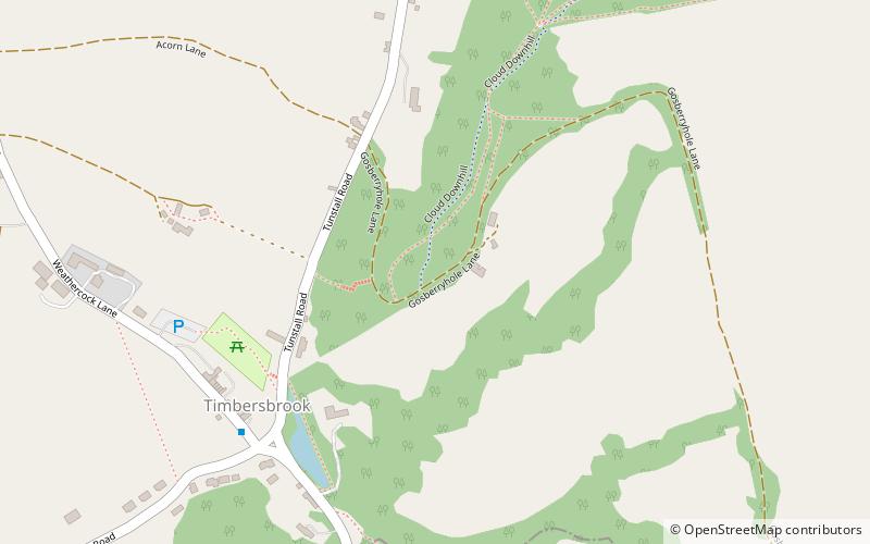
The Gritstone Trail, or Cheshire Gritstone Trail, is a 35-mile long-distance footpath in England which follows the most westerly hills of the Peak District from Disley Station to Mow Cop, and on via the Macclesfield Canal to Kidsgrove Station. Managed by Cheshire East, the trail involves 5,900 feet of ascent and is mainly outside the National Park. There are other routes in the Peak District referred to as a “Gritstone Trail” but they are less well established. ()
Length: 35 miMaximum elevation: 1345 ftCoordinates: 53°9'46"N, 2°9'16"W
Location
England
ContactAdd
Social media
Add
Day trips
Gritstone Trail – popular in the area (distance from the attraction)
Nearby attractions include: Biddulph Grange, Congleton Museum, Mow Cop Castle, Astbury Mere Country Park.


