Hillhead, Glasgow
Map
Map

Facts and practical information
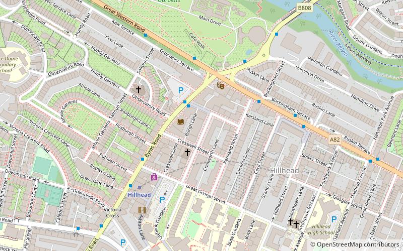
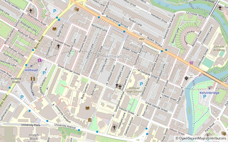
Hillhead is an area of Glasgow, Scotland. Situated north of Kelvingrove Park and to the south of the River Kelvin, Hillhead is at the heart of Glasgow's fashionable West End, with Byres Road forming the western border of the area, the other boundaries being Dumbarton Road to the south and the River Kelvin to the east and north. ()
Area: 0.37 mi²Coordinates: 55°52'30"N, 4°17'13"W
Address
West End (Hillhead)Glasgow
ContactAdd
Social media
Add
Day trips
Hillhead – popular in the area (distance from the attraction)
Nearby attractions include: Kelvingrove Art Gallery and Museum, Glasgow University Union, Hunterian Museum and Art Gallery, Glasgow Botanic Gardens.
Frequently Asked Questions (FAQ)
Which popular attractions are close to Hillhead?
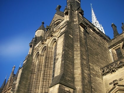
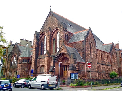
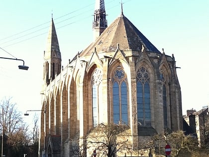
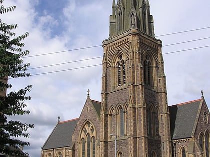
Nearby attractions include Glasgow University Library, Glasgow (4 min walk), Wellington Church, Glasgow (5 min walk), Hillhead Baptist Church, Glasgow (5 min walk), Glasgow University Union, Glasgow (5 min walk).
How to get to Hillhead by public transport?
The nearest stations to Hillhead:
Bus
Metro
Train
Bus
- Great Western Road / Cecil Street • Lines: 6A (4 min walk)
- University Avenue / Southpark Avenue • Lines: c1 (5 min walk)
Metro
- Hillhead • Lines: Subway (7 min walk)
- Kelvinbridge • Lines: Subway (8 min walk)
Train
- Partick (24 min walk)
- Exhibition Centre (25 min walk)


