Myers Wood
Map

Map

Facts and practical information
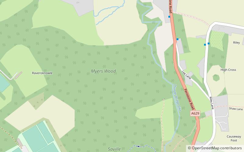
Myers Wood is a wooded area in the village of Kirkburton, West Yorkshire, England. It forms part of a heavily forested area to the west of the village, occupying the rise in the valley leading up to Storthes Hall and beyond. It is directly west of the main Penistone Road, opposite Riley. Saville Wood is directly south, close to Thunder Bridge. Local residents consider the wood to be of poor quality due to the absence of woodland management. ()
Coordinates: 53°36'32"N, 1°43'2"W
Day trips
Myers Wood – popular in the area (distance from the attraction)
Nearby attractions include: Kingsgate Shopping Centre, Huddersfield Art Gallery, Church of St Thomas, Castle Hill.


