Craigshill, Livingston
Map

Map

Facts and practical information
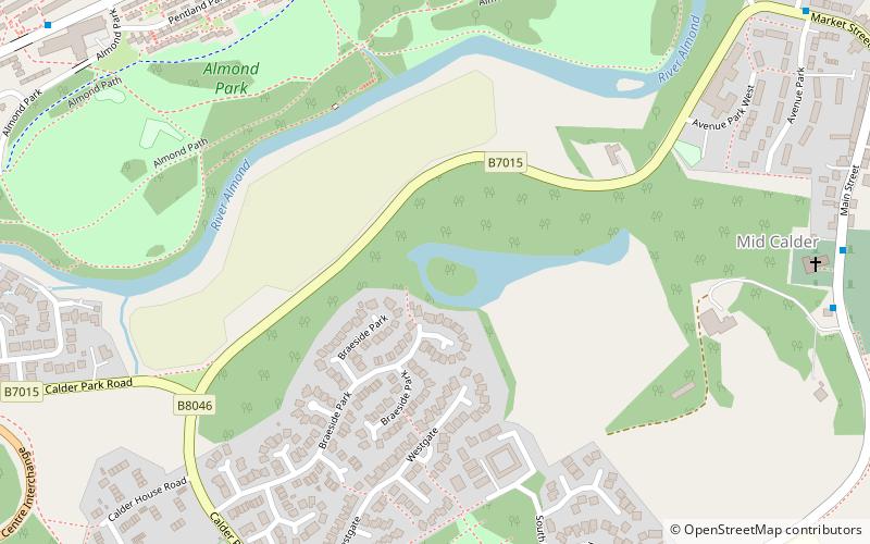
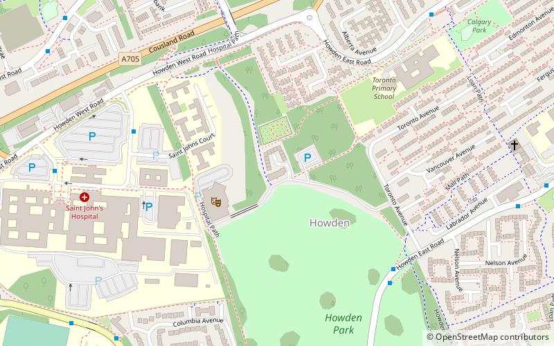
Craigshill is a residential area in the east of Livingston, Scotland. To the west is the A899, with Howden, Ladywell and Knightsridge beyond it, to the south is the village of Mid Calder, and to the north is Houston Industrial Estate and the village of Pumpherston. ()
Coordinates: 55°53'24"N, 3°29'24"W
Address
Livingston
ContactAdd
Social media
Add
Day trips
Craigshill – popular in the area (distance from the attraction)
Nearby attractions include: Livingston Designer Outlet, The Centre, Almondell and Calderwood Country Park, Mid Calder.
Frequently Asked Questions (FAQ)
Which popular attractions are close to Craigshill?
Nearby attractions include Mid Calder, Livingston (9 min walk), Almondell and Calderwood Country Park, Livingston (17 min walk).
How to get to Craigshill by public transport?
The nearest stations to Craigshill:
Bus
Bus
- B • Lines: 31 (31 min walk)


