Carlisle Golf Club, Carlisle

Gallery (1)
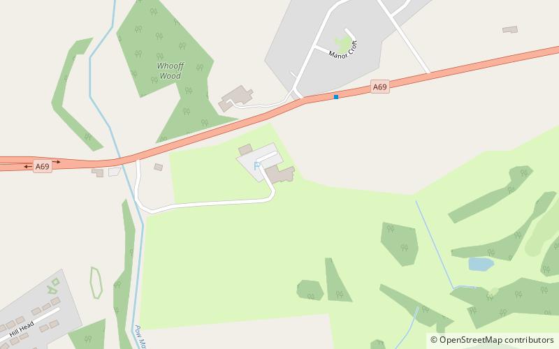
Map
Map
Facts and practical information
Carlisle Golf Club is a place located in Carlisle (England kingdom) and belongs to the category of outdoor activities, golf.
It is situated at an altitude of 121 feet, and its geographical coordinates are 54°53'51"N latitude and 2°51'55"W longitude.
Among other places and attractions worth visiting in the area are: Scotby (village, 19 min walk), Eden Golf Club, Hadrian's Wall (golf, 46 min walk), Our Lady and St Wilfrid's Church (church, 48 min walk).
Coordinates: 54°53'51"N, 2°51'55"W
Day trips


