Trek Zone

St Bega's Way

#5641 among destinations in the United Kingdom

Hiking, Hiking trail
St Bega's Way location map
Map

Facts and practical information
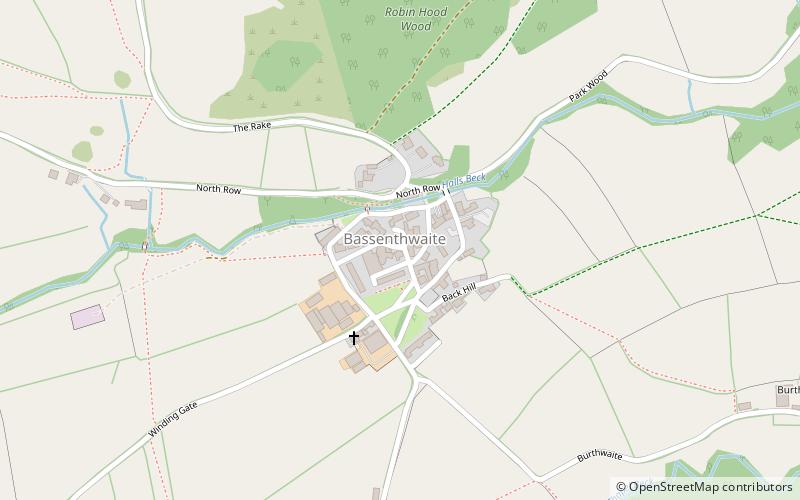
Length: 36 miCoordinates: 54°40'47"N, 3°11'44"W
Location

EnglandUnited Kingdom

ContactAdd
Social media
Add
Day trips

St Bega's Way – popular in the area (distance from the attraction)

Nearby attractions include: Skiddaw, Bassenthwaite Lake, Mirehouse, Carl Side.

  • skiddaw keswick3 miSE
  • bassenthwaite lake2 miSW
  • mirehouse2.4 miS
  • carl side3 miSE
  • over water2.2 miNE
  • dodd3.2 miS
  • ullock pike2.3 miSE
  • binsey2.1 miN
  • mirehouse gardens keswick2.5 miS
  • long side lake district national park2.6 miSE
  • sale fell lake district national park2.7 miSW

Where to next? Visit england England region page or discover the top tourist attractions in United Kingdom.