Loch Fergus
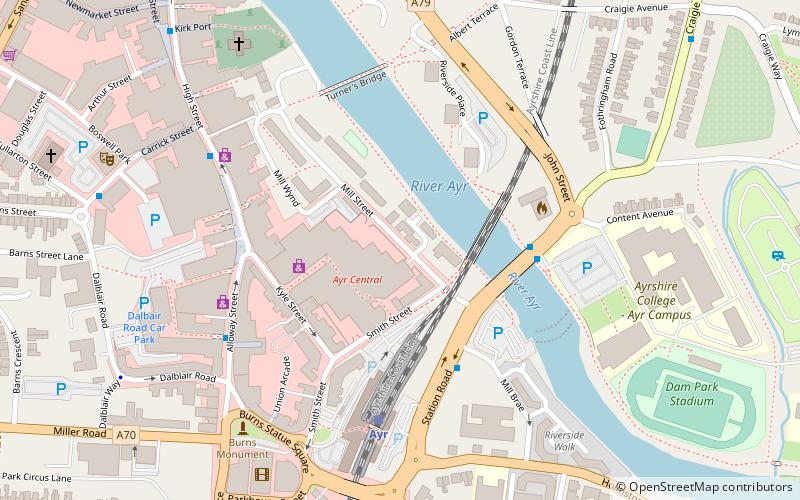
Map
Gallery
Facts and practical information
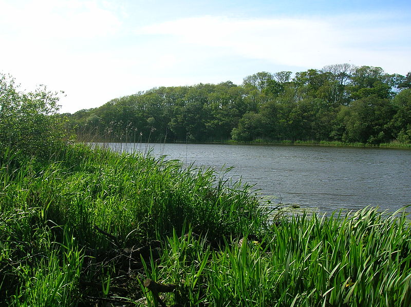
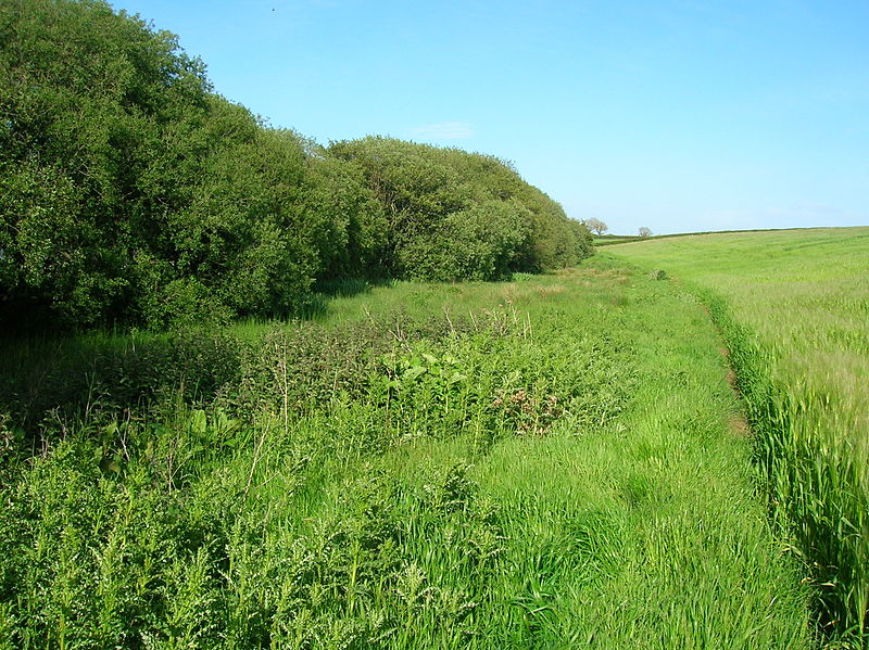
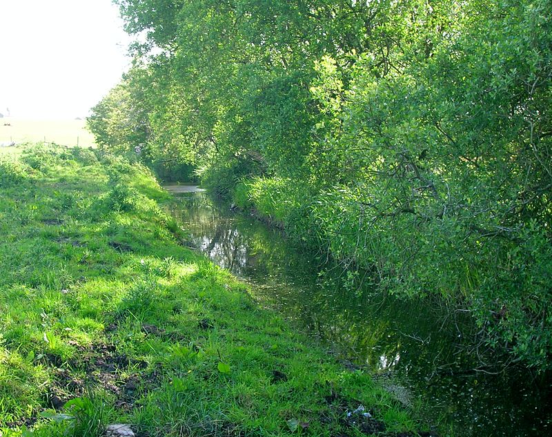
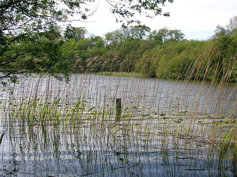
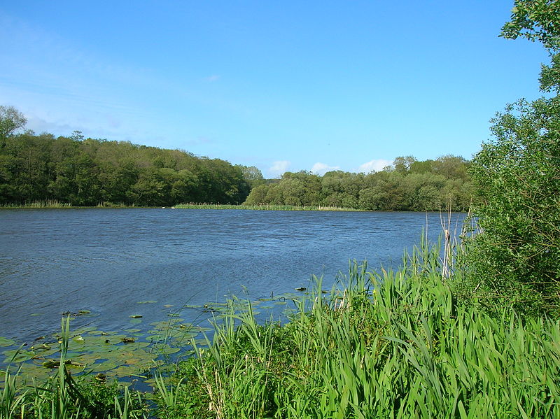
Loch Fergus is a freshwater post-glacial "Kettle Hole" sometimes recorded as Fergus Loch. It is quite visible and is situated in a low-lying area close to the B742 road between the farms and dwellings of Trees, Lochfergus and Bowmanston in the Parish of Ayr, South Ayrshire, Scotland. The loch lies to the north of Martnaham Loch, four miles east-southeast of Ayr. It drains to the southwest into the Snipe Loch. ()
Length: 2040 ftElevation: 315 ft a.s.l.Coordinates: 55°25'54"N, 4°32'27"W
Location
Scotland
ContactAdd
Social media
Add
Day trips
Loch Fergus – popular in the area (distance from the attraction)
Nearby attractions include: Ayr Racecourse, Burns Cottage, Ayr Cathedral, Ayr Central.


