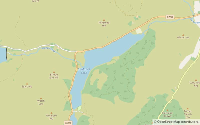
St Mary's Loch
Map

Map

Facts and practical information
St Mary's Loch is the largest natural loch in the Scottish Borders, and is situated on the south side of the A708 road between Selkirk and Moffat, about 72 kilometres south of Edinburgh. ()
Alternative names: Length: 3.11 miWidth: 3281 ftElevation: 814 ft a.s.l.Coordinates: 55°29'29"N, 3°11'15"W
Location
Scotland
ContactAdd
Social media
Add
Day trips
St Mary's Loch – popular in the area (distance from the attraction)
Nearby attractions include: Southern Upland Way, Grey Mare's Tail, Grey Mare's Tail, Loch Skeen.


