Scunthorpe Steelworks, Scunthorpe
Map
Gallery

Facts and practical information
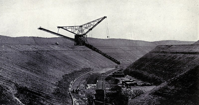
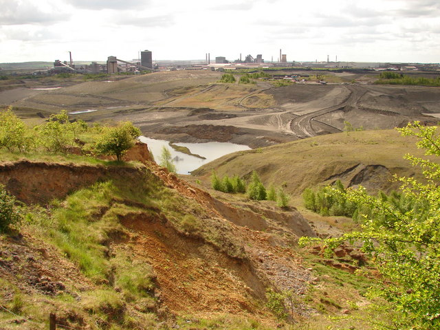
The Iron and Steel Industry in Scunthorpe was established in the mid 19th century, following the discovery and exploitation of middle Lias ironstone east of Scunthorpe, Lincolnshire, England. ()
Coordinates: 53°34'55"N, 0°36'28"W
Address
Scunthorpe
ContactAdd
Social media
Add
Day trips
Scunthorpe Steelworks – popular in the area (distance from the attraction)
Nearby attractions include: The Pods, Normanby Hall, Glanford Park, The Baths Hall.
Frequently Asked Questions (FAQ)
How to get to Scunthorpe Steelworks by public transport?
The nearest stations to Scunthorpe Steelworks:
Train
Bus
Train
- Appleby (18 min walk)
- Frodingham (26 min walk)
Bus
- Bellingham Road • Lines: 10 (29 min walk)
- Tennyson Road • Lines: 10 (30 min walk)


