St Michael's Flags and Angel Meadow Park, Manchester
Map

Map

Facts and practical information
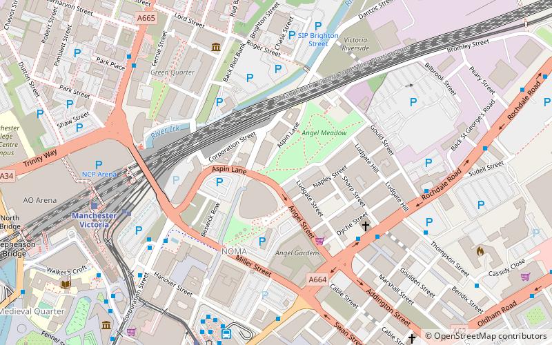
St Michael's Flags and Angel Meadow Park is a public park in Manchester, England, to the immediate northeast of the city centre, on a slope between the River Irk and Rochdale Road. It occupies an area of 7.4 acres, and was once an affluent suburb, until the 19th-century Industrial Revolution altered the social standing of the area and introduced poverty and disease. Regeneration of the park in the 2000s has created a gateway into the Irk Valley. ()
Created: 2004Elevation: 138 ft a.s.l.Coordinates: 53°29'19"N, 2°14'13"W
Day trips
St Michael's Flags and Angel Meadow Park – popular in the area (distance from the attraction)
Nearby attractions include: Oldham Street, Corporation Street, Manchester Arndale, Manchester Cathedral.
Frequently Asked Questions (FAQ)
Which popular attractions are close to St Michael's Flags and Angel Meadow Park?
Nearby attractions include CIS Tower, Manchester (4 min walk), Sadler's Yard, Manchester (5 min walk), Hanover Building, Manchester (6 min walk), Smithfield Market Hall, Manchester (6 min walk).
How to get to St Michael's Flags and Angel Meadow Park by public transport?
The nearest stations to St Michael's Flags and Angel Meadow Park:
Bus
Tram
Train
Bus
- Shudehill/Mayes Street • Lines: X43 Fast (5 min walk)
- Shudehill Interchange • Lines: 2, 2 (peak), 33, 33B, 8, 98 (7 min walk)
Tram
- Victoria • Lines: Airp, Altr, Bury, EDid, Picc, Roch, Shaw, Vict (6 min walk)
- Shudehill • Lines: Airp, Altr, Bury, Picc, Vict (7 min walk)
Train
- Manchester Victoria (7 min walk)
- Manchester Piccadilly (22 min walk)

 Metrolink
 Metrolink / Rail


