Lydiard House, Swindon
Map

Map

Facts and practical information
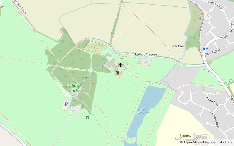
Lydiard Park is a 260-acre country park at Lydiard Tregoze, which was its formal name, about 3 miles west of central Swindon, Wiltshire, England, near Junction 16 of the M4 motorway. ()
Coordinates: 51°33'41"N, 1°51'6"W
Day trips
Lydiard House – popular in the area (distance from the attraction)
Nearby attractions include: Swindon Designer Outlet, Museum of the Great Western Railway, County Ground, Lydiard Park.
Frequently Asked Questions (FAQ)
How to get to Lydiard House by public transport?
The nearest stations to Lydiard House:
Bus
Bus
- Wilmot Close • Lines: 1 (8 min walk)
- Sleaford Close • Lines: 1 (10 min walk)


