Warrington Bridge, Warrington

Map
Facts and practical information
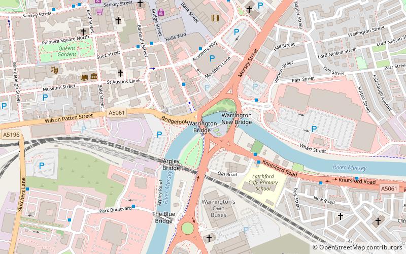
Warrington Bridge is the name given to several historical bridges crossing the River Mersey in the town of Warrington, England. The current structure is the sixth to stand in this location and was constructed 1909–15 by Alfred Thorne & Sons. For centuries Warrington Bridge provided the lowest crossing of the Mersey and thus was of strategic and commercial importance. It is located to the south of the present town centre and linked to it via Bridge Street. ()
Coordinates: 53°23'9"N, 2°35'29"W
Day trips
Warrington Bridge – popular in the area (distance from the attraction)
Nearby attractions include: Halliwell Jones Stadium, Sankey Valley Park, St Mary's Church, Warrington Museum & Art Gallery.
Frequently Asked Questions (FAQ)
Which popular attractions are close to Warrington Bridge?
Nearby attractions include Statue of Oliver Cromwell, Warrington (2 min walk), Warrington Museum & Art Gallery, Warrington (6 min walk), Holy Trinity Church, Warrington (7 min walk), 19–21 Sankey Street, Warrington (7 min walk).
How to get to Warrington Bridge by public transport?
The nearest stations to Warrington Bridge:
Bus
Train
Bus
- St James' Court • Lines: Cat5, Cat5A, Cat6, Cat7, Cat8, Cat8A, Cat9, Cat9A, Cat9B (7 min walk)
- Central Avenue • Lines: Cat5, Cat5A, Cat6, Cat7, Cat8, Cat8A, Cat9, Cat9A, Cat9B (9 min walk)
Train
- Warrington Central (11 min walk)
- Warrington Bank Quay (12 min walk)


