Town Fields, Doncaster

Gallery (1)
Map
Map
Facts and practical information
Town Fields is a large area of public land in Intake, Doncaster, South Yorkshire, England. It was historically used by Hall Cross School in Doncaster. ()
Elevation: 105 ft a.s.l.Coordinates: 53°32'20"N, 1°10'46"W
Address
Doncaster
ContactAdd
Social media
Add
Day trips


Frequently Asked Questions (FAQ)
Which popular attractions are close to Town Fields?
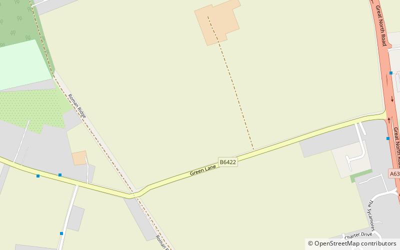
Nearby attractions include Cusworth, Doncaster (10 min walk), Roman Ridge, Doncaster (14 min walk), Cusworth Hall, Doncaster (18 min walk).