Lanark Castle, Lanark

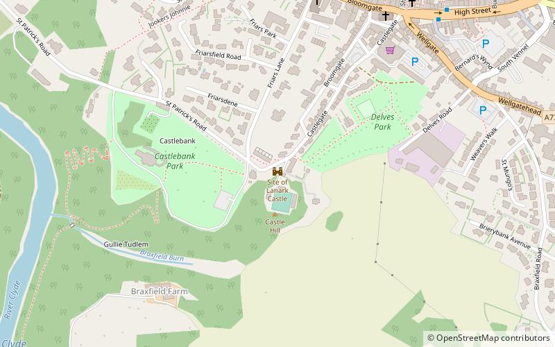
Map
Facts and practical information
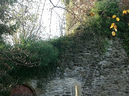
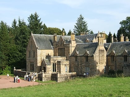
Lanark Castle was the origin and heart of what later became the royal burgh of Lanark, Scotland. The town grew up outside the castle walls. Long since demolished, the castle lay high on the east bank of the River Clyde, near the confluence with the Mouse Water. The site is designated a scheduled monument. ()
Coordinates: 55°40'15"N, 3°47'2"W
Day trips
Lanark Castle – popular in the area (distance from the attraction)
Nearby attractions include: Falls of Clyde, St Nicholas Parish Church, St Kentigern's Church, Corra Castle.
Frequently Asked Questions (FAQ)
Which popular attractions are close to Lanark Castle?
Nearby attractions include Castlebank Park, Lanark (4 min walk), St Nicholas Parish Church, Lanark (6 min walk), Lindsay Institute, Lanark (7 min walk), St Mary's RC Church, Lanark (11 min walk).


