Mynydd y Dref, Snowdonia National Park
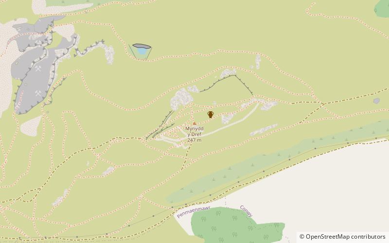
Map

Gallery

Facts and practical information
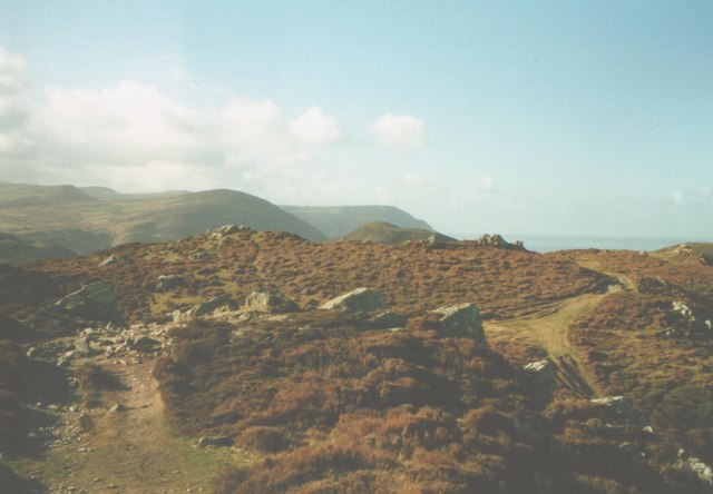
Mynydd y Dref or Conwy Mountain is a hilly area to the west of the town of Conwy, in North Wales. To the north it overlooks the sea of Conwy Bay, and to the south lie the foothills of the Carneddau range of mountains, of which it forms a part. Mynydd y Dref is the remains of an ancient volcano that erupted about 450 million years ago. ()
Elevation: 801 ftProminence: 190 ftCoordinates: 53°16'58"N, 3°51'42"W
Address
Snowdonia National Park
ContactAdd
Social media
Add
Day trips
Mynydd y Dref – popular in the area (distance from the attraction)
Nearby attractions include: Castell Caer Seion, Conwy town walls, Bodlondeb Woods, Deganwy.
Frequently Asked Questions (FAQ)
How to get to Mynydd y Dref by public transport?
The nearest stations to Mynydd y Dref:
Train
Train
- Deganwy (37 min walk)


