Shropshire Way
Map

Gallery

Facts and practical information
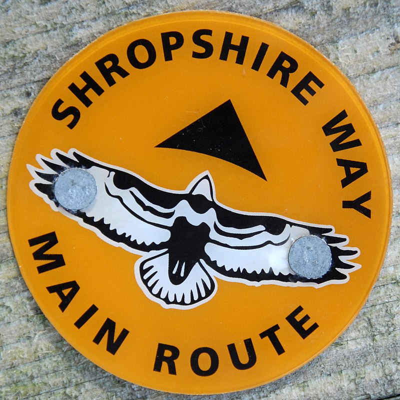
The Shropshire Way Main Route is a waymarked long distance footpath running through the English county of Shropshire. It runs 202 miles around the interior of the county in two loops centred on Shrewsbury, with an additional spur to Whitchurch. ()
Coordinates: 52°58'55"N, 2°42'43"W
Location
England
ContactAdd
Social media
Add
Day trips
Shropshire Way – popular in the area (distance from the attraction)
Nearby attractions include: Cholmondeley Castle, St Oswald's Church, St Alkmund's Church, St Chad's Church.


