St Lawrence's Church, Milton Keynes
Map

Map

Facts and practical information
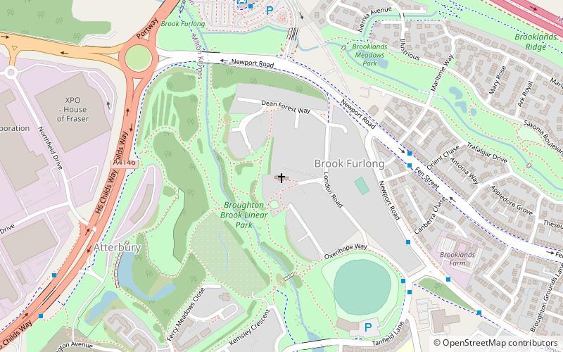
St Lawrence's Church is a redundant Anglican church in Broughton, Milton Keynes, Buckinghamshire, England. The church is recorded in the National Heritage List for England as a designated Grade I listed building, and is under the care of the Churches Conservation Trust. The church stands on the eastern periphery of Milton Keynes, between the A4146 and A5130 roads. It is listed at Grade I because of its "remarkable series" of medieval wall paintings. ()
Architectural style: English gothicCoordinates: 52°3'8"N, 0°41'52"W
Day trips
St Lawrence's Church – popular in the area (distance from the attraction)
Nearby attractions include: Gulliver's Land, Xscape Building, thecentre:mk, Campbell Park.
Frequently Asked Questions (FAQ)
How to get to St Lawrence's Church by public transport?
The nearest stations to St Lawrence's Church:
Bus
Train
Bus
- Miton Keynes Coachway (6 min walk)
- Milton Keynes Coachway • Lines: 422, 426, 436, 737, 905, X5 (7 min walk)
Train
- Miniature Train (28 min walk)


