Bolehall Viaduct, Tamworth
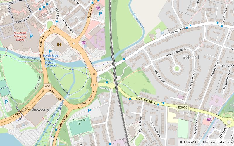
Map
Facts and practical information
Bolehall Viaduct, known locally as The 19 Arches is a 807 feet viaduct on the former Birmingham and Derby Junction Railway line near Tamworth, Staffordshire, England now part of the Cross Country Route. ()
Opened: 1839 (187 years ago)Length: 807 ftCoordinates: 52°37'51"N, 1°41'11"W
Address
Tamworth
ContactAdd
Social media
Add
Getting there by public transportation
Public transportation stops near this location
- Train
 Train
Train
- Calculate routeTamworth 12 min walk
Day trips
Bolehall Viaduct – popular in the area (distance from the attraction)
Nearby attractions include: Snowdome, G Force Roller Coaster, Thomas Land, Tamworth Castle.


Frequently Asked Questions (FAQ)
Which popular attractions are close to Bolehall Viaduct?
Nearby attractions include Snowdome, Tamworth (7 min walk), Church of St Editha, Tamworth (11 min walk), Tamworth Town Hall, Tamworth (11 min walk), Tamworth Castle, Tamworth (12 min walk).
How to get to Bolehall Viaduct by public transport?
The nearest stations to Bolehall Viaduct:
Train
Train
- Tamworth (12 min walk)