Ballumbie, Dundee

Gallery (3)
Map
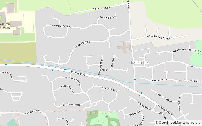
Map
Gallery
Facts and practical information
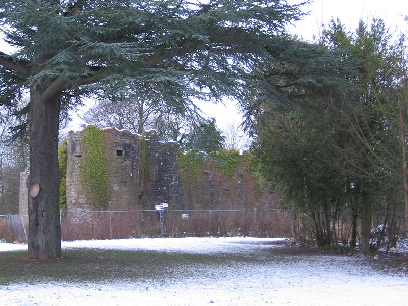
Ballumbie is a residential area on the north-east edge of Dundee, Scotland. The area was formerly an estate centred on Ballumbie Castle, a mid-16th-century fortification, which was followed by the 19th-century Ballumbie House. There is also a golf course surrounded by a medieval wall and the site of a late medieval parish church. The castle and house are located just outside the City of Dundee, in Angus. ()
Coordinates: 56°29'31"N, 2°54'24"W
Address
Dundee
ContactAdd
Social media
Add
Day trips


