Moor Allerton Golf Club, Leeds

Facts and practical information
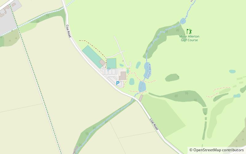
Moor Allerton Golf Club (address: Coal Road) is a place located in Leeds (England kingdom) and belongs to the category of golf, outdoor activities.
It is situated at an altitude of 397 feet, and its geographical coordinates are 53°52'12"N latitude and 1°28'49"W longitude.
Planning a visit to this place, one can easily and conveniently get there by public transportation. Moor Allerton Golf Club is a short distance from the following public transport stations: Wetherby Road Stoney Lane (bus, 32 min walk).
Among other places and attractions worth visiting in the area are: Wike (neighbourhood, 10 min walk), The Bingley Arms (nightlife, 40 min walk), All Hallows Church (church, 44 min walk).
Moor Allerton Golf Club – popular in the area (distance from the attraction)
Nearby attractions include: Harewood House, Tropical World, Roundhay Park, The Bingley Arms.
Frequently Asked Questions (FAQ)
How to get to Moor Allerton Golf Club by public transport?
Bus
- Wetherby Road Stoney Lane • Lines: 875 (32 min walk)


