Ratby Community Library, Leicester

Gallery (1)
Map
Map
Facts and practical information
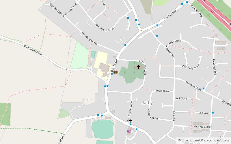
Ratby Community Library (address: Main Street, Ratby) is a place located in Leicester (England kingdom) and belongs to the category of library.
It is situated at an altitude of 318 feet, and its geographical coordinates are 52°38'56"N latitude and 1°14'41"W longitude.
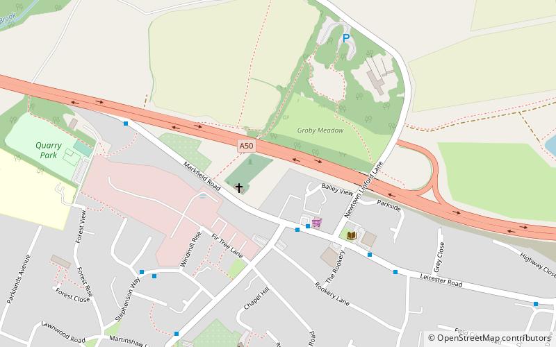
Among other places and attractions worth visiting in the area are: Groby (area, 22 min walk), Kirby Muxloe Castle (forts and castles, 29 min walk), Kirby Muxloe (village, 31 min walk).
Coordinates: 52°38'56"N, 1°14'41"W
Day trips