St Thomas' Church, Belfast
Map
Gallery
Facts and practical information
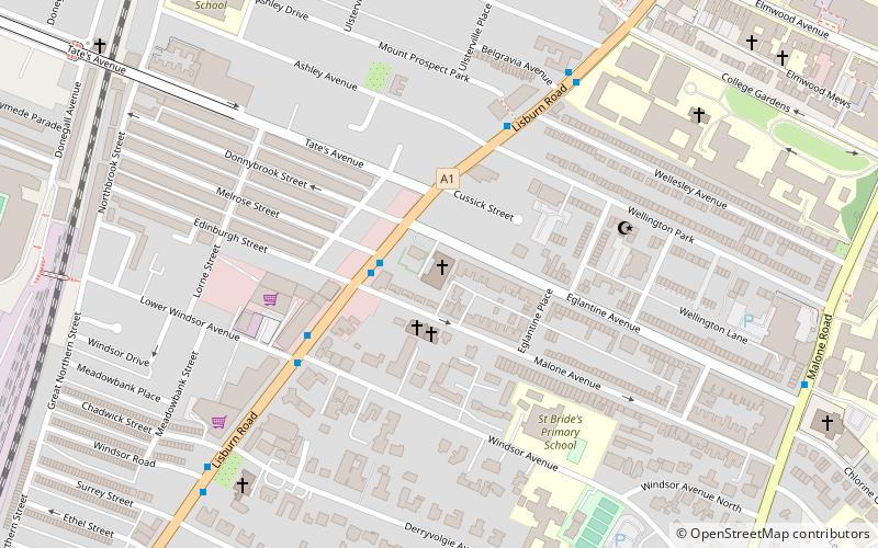
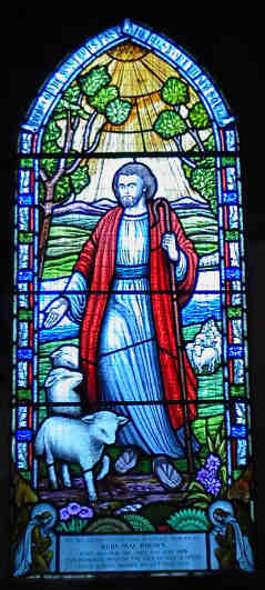
St Thomas' Church is a church of the Church of Ireland in south Belfast, Northern Ireland. It is located at the end of Eglantine Avenue at the junction with the Lisburn Road and holds regular services. The parish extends from Elmwood Avenue to Adelaide Park, and from the Malone Road to the Lisburn Road. ()
Completed: 1869 (157 years ago)Coordinates: 54°34'55"N, 5°56'45"W
Day trips
St Thomas' Church – popular in the area (distance from the attraction)
Nearby attractions include: Botanic Gardens, Ulster Museum, Naughton Gallery at Queen's, Park Centre.
Frequently Asked Questions (FAQ)
Which popular attractions are close to St Thomas' Church?
Nearby attractions include Windsor Park, Belfast (10 min walk), Queen's University Belfast, Belfast (11 min walk), Friar's Bush Graveyard, Belfast (11 min walk), Ulster Museum, Belfast (11 min walk).
How to get to St Thomas' Church by public transport?
The nearest stations to St Thomas' Church:
Bus
Train
Bus
- Queen's University • Lines: 8A (11 min walk)
- Bradbury Place • Lines: 8A (17 min walk)
Train
- Adelaide (12 min walk)
- City Hospital (14 min walk)


