Lambley Viaduct

Gallery (1)
Map
Map
Facts and practical information
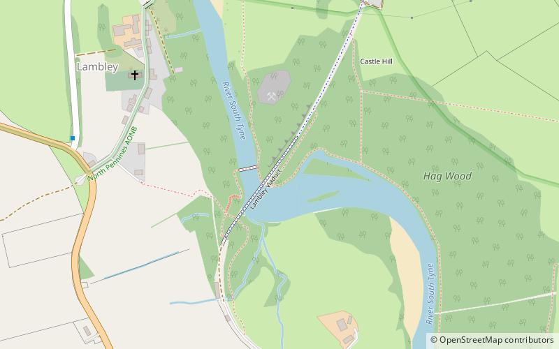
Lambley Viaduct is a stone bridge across the River South Tyne at Lambley in Northumberland. Formerly a railway bridge, it remains open to pedestrians but one end of the viaduct has been fenced off. ()
Length: 853 ftWidth: 11 ftHeight: 108 ftCoordinates: 54°55'9"N, 2°30'28"W
Location
England
ContactAdd
Social media
Add
Day trips


