St Peter's Church, Edinburgh
Map
Map

Facts and practical information
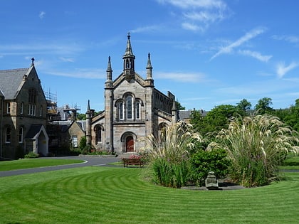
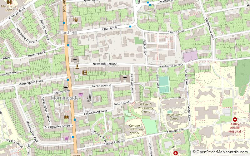
St Peter's Church is a parish of the Roman Catholic Church in the Morningside district of Edinburgh, Scotland, within the Archdiocese of St Andrews and Edinburgh. ()
Coordinates: 55°55'49"N, 3°12'21"W
Day trips
St Peter's Church – popular in the area (distance from the attraction)
Nearby attractions include: Royal Observatory, Bruntsfield Links, Warrender Swim Centre, The Meadows.
Frequently Asked Questions (FAQ)
Which popular attractions are close to St Peter's Church?
Nearby attractions include Church Hill Theatre, Edinburgh (6 min walk), Holy Corner, Edinburgh (9 min walk), Merchiston Tower, Edinburgh (10 min walk), Gillis Centre, Edinburgh (10 min walk).
How to get to St Peter's Church by public transport?
The nearest stations to St Peter's Church:
Bus
Train
Tram
Bus
- Morningside Place • Lines: 23 (4 min walk)
- Spring Valley Gardens • Lines: 23 (5 min walk)
Train
- Haymarket (30 min walk)
Tram
- Haymarket • Lines: Edinburgh Trams Eastbound, Edinburgh Trams Westbound (31 min walk)


