Springbourne, Bournemouth
Map
Gallery
Facts and practical information
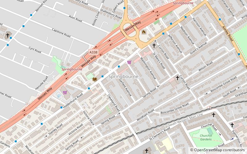
Springbourne is a suburb of Bournemouth in Dorset, England. It occupies the north-east part of the main built-up area, north of Boscombe. Its formal boundaries are Northcote Road to the west, the Wessex Way to the north, Ashley Road to the east, and the railway line to the south. ()
Coordinates: 50°43'55"N, 1°51'4"W
Day trips
Springbourne – popular in the area (distance from the attraction)
Nearby attractions include: O2 Academy Bournemouth, Dean Court, Russell-Cotes Art Gallery & Museum, Dean Park Cricket Ground.
Frequently Asked Questions (FAQ)
Which popular attractions are close to Springbourne?
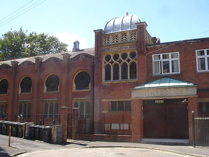
Nearby attractions include Bournemouth Reform Synagogue, Bournemouth (17 min walk), Friends of Boscombe Chine Gardens, Bournemouth (17 min walk), Queen's Park, Bournemouth (17 min walk), Boscombe, Bournemouth (18 min walk).
How to get to Springbourne by public transport?
The nearest stations to Springbourne:
Bus
Train
Bus
- Capstone Place • Lines: 2 (1 min walk)
- Springbourne Library • Lines: 2, 2N (3 min walk)
Train
- Bournemouth (17 min walk)
- Pokesdown (28 min walk)


