Forge Wood, Crawley
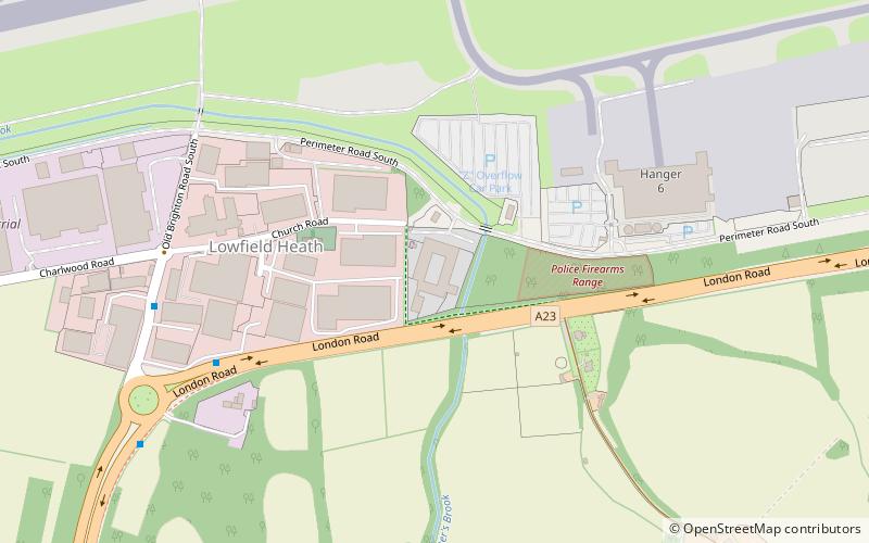
Map

Gallery
Facts and practical information
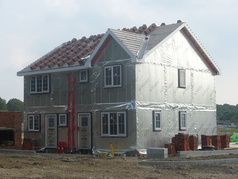
Forge Wood is the 14th residential neighbourhood in Crawley, a town and borough in West Sussex. The 1,900 houses and other facilities will be built on open land in the northeast of the borough, adjoining the ancient village of Tinsley Green and to the north of the Pound Hill neighbourhood. ()
Coordinates: 51°8'15"N, 0°9'14"W
Address
Pound Hill NorthCrawley
ContactAdd
Social media
Add
Day trips
Forge Wood – popular in the area (distance from the attraction)
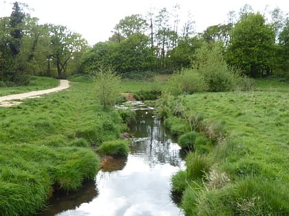
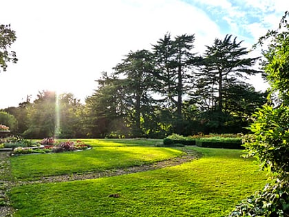
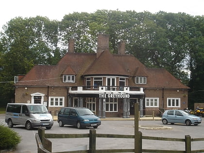
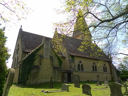
Nearby attractions include: Grattons Park, Worth Park Gardens, Tinsley Green, St Michael and All Angels Church.
Frequently Asked Questions (FAQ)
Which popular attractions are close to Forge Wood?
Nearby attractions include Tinsley Green, Crawley (8 min walk), Grattons Park, Crawley (18 min walk), Worth Park Gardens, Crawley (18 min walk).
How to get to Forge Wood by public transport?
The nearest stations to Forge Wood:
Bus
Bus
- Wimblehurst Road • Lines: 3, 693 (5 min walk)
- Crematorium • Lines: 3, 422, 424, 693 (9 min walk)

