Carn Fadryn
Map

Map

Facts and practical information
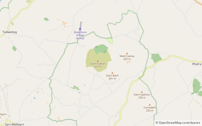
Carn Fadryn, sometimes Carn Fadrun or Garn Fadryn, is a five-hectare Iron Age hillfort and is the name of the mountain on which the fort is situated. It lies in the centre of the Llŷn Peninsula, Gwynedd, and overlooks the village of Garnfadryn, Wales. ()
Elevation: 1217 ftProminence: 1125 ftCoordinates: 52°53'9"N, 4°33'28"W
Location
Wales
ContactAdd
Social media
Add
Day trips
Carn Fadryn – popular in the area (distance from the attraction)
Nearby attractions include: Nefyn & District Golf Club, Plas yn Rhiw, Garn Boduan, Porth Neigwl.


