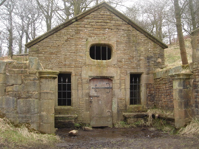
Hollinshead Hall

Gallery (2)
Map
Map
Gallery
Facts and practical information
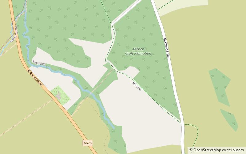
Hollinshead Hall was a manor house close to the village of Tockholes, Lancashire. It is unclear whether the hall was originally the manor house of Tockholes, or if Hollinshead was indeed a manor in its own right alongside Tockholes and Livesey. The ruins of the hall are situated approximately 2 miles south of the village. ()
Coordinates: 53°40'28"N, 2°30'42"W
Location
England
ContactAdd
Social media
Add
Day trips


