Reed Loch
Map

Map

Facts and practical information
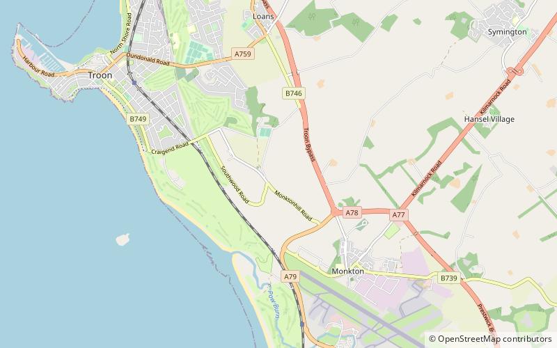
The Reed Loch was also known as Loch Green. As a curling pond it was probably known as the Fullarton House Pond, located as it was on the edge of the Fullarton House and Crosbie Castle estate curtilage, It was originally a shallow and overgrown freshwater loch, hence the name Reed Loch and its marshy appearance on Johnson's 1828 map. It was cleaned out and used as a curling pond in the latter part of the 19th century before falling out of use and being drained in the late 20th century. ()
Elevation: 62 ft a.s.l.Coordinates: 55°31'48"N, 4°37'12"W
Location
Scotland
ContactAdd
Social media
Add
Day trips
Reed Loch – popular in the area (distance from the attraction)
Nearby attractions include: Ayr Racecourse, Ayr Cathedral, Prestwick Old Course, Dundonald Castle.


