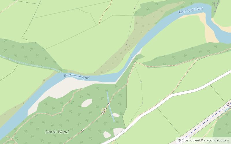
Burnfoot River Shingle and Wydon Nabb

Map
Facts and practical information
Burnfoot River Shingle and Wydon Nabb is the name given to a Site of Special Scientific Interest in Northumberland, North East England. Burnfoot River Shingle is a calaminarian grassland on the River South Tyne where the local flora is influenced by high levels of naturally occurring heavy metals. Wydon Nabb is an escarpment displaying the Haltwhistle Dyke, a magmatic intrusion of igneous dolerite set amidst sedimentary sandstone and shale. ()
Coordinates: 54°57'24"N, 2°29'3"W
Location
England
ContactAdd
Social media
Add
Day trips
Burnfoot River Shingle and Wydon Nabb – popular in the area (distance from the attraction)
Nearby attractions include: Featherstone Castle, Bellister Castle, Alston Arches Viaduct, Featherstone Bridge.


